Project
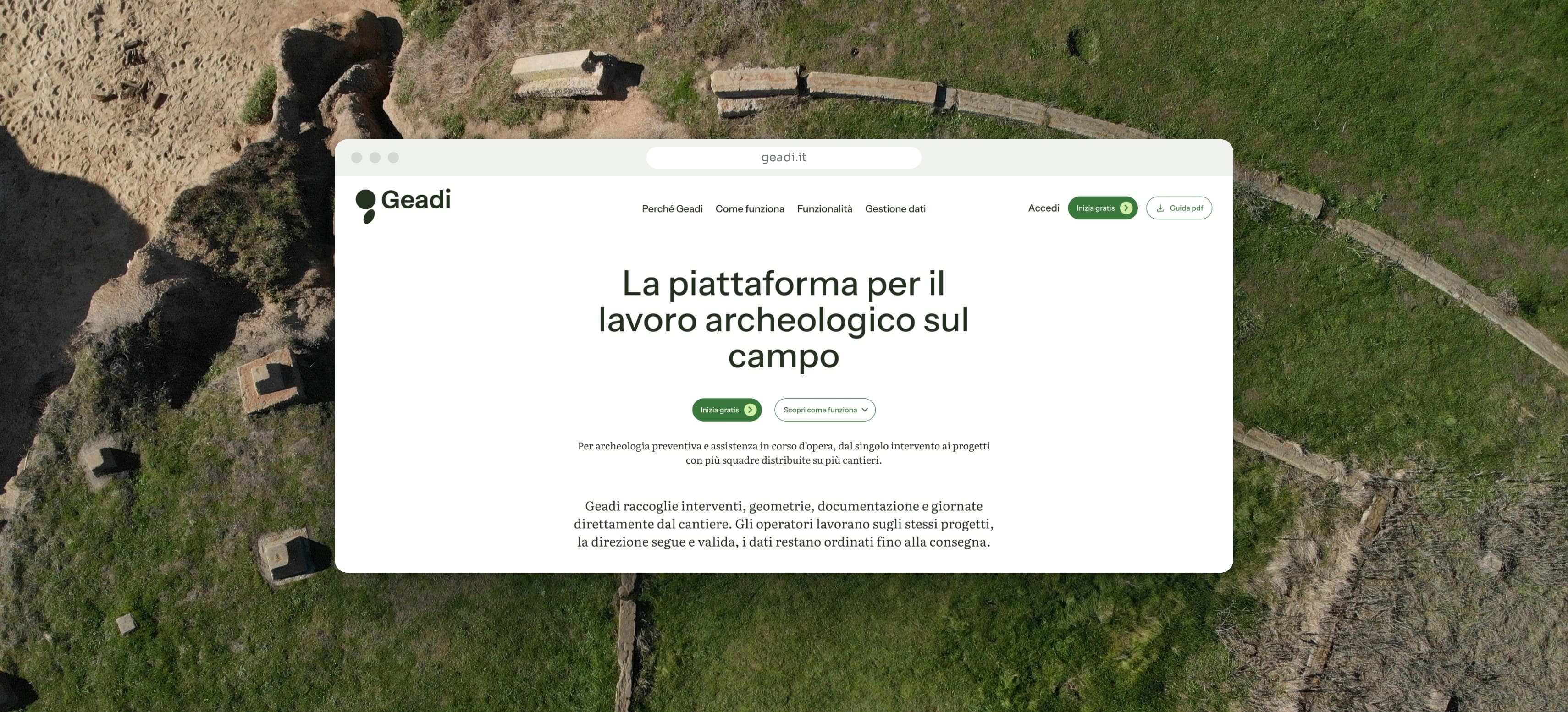
We designed and developed Geadi, a web platform for documenting archaeological interventions from the site to the final delivery.
Geadi: the management platform for archaeological fieldwork
- Area
- Identity, Development
- Year
- 2026
People working in preventive archaeology produce intervention records, coordinates, photos, sections and hours of work every day. Even when the excavation finds nothing, the result has to be documented and delivered.
This documentation usually starts on site and is rewritten at least once. Coordinates sit in a GIS project, descriptions in a text file, photos in a folder. Reviews go back and forth by email. At delivery the pieces have to be put back together for the Soprintendenza and for the client.
Geadi brings these materials into a single environment from the first day on site.
Where we started
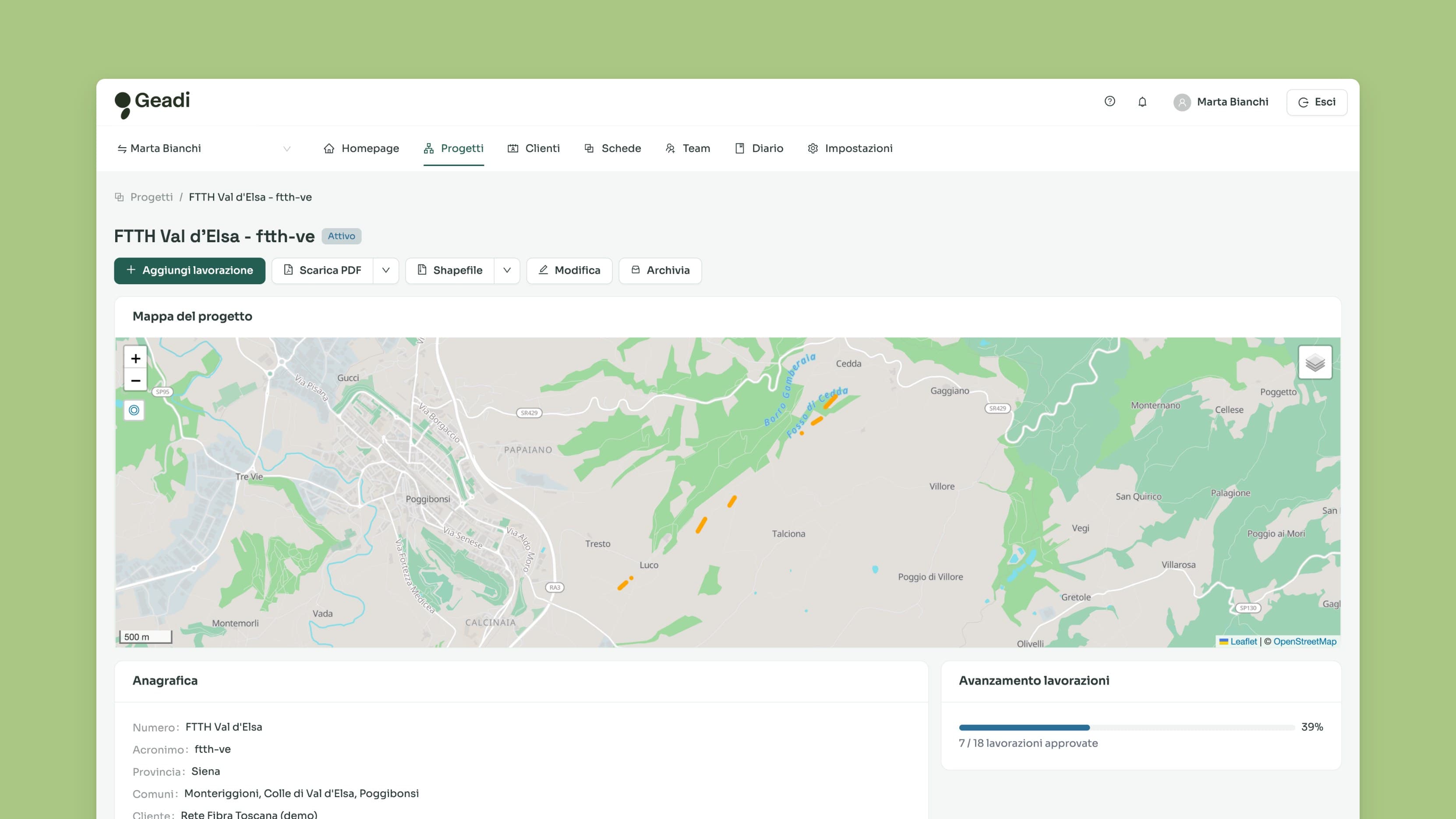
We observed the work of the teams in the field. How a record is filled in at the trench, how the scientific director reviews the material, what public bodies and clients ask for at the end.
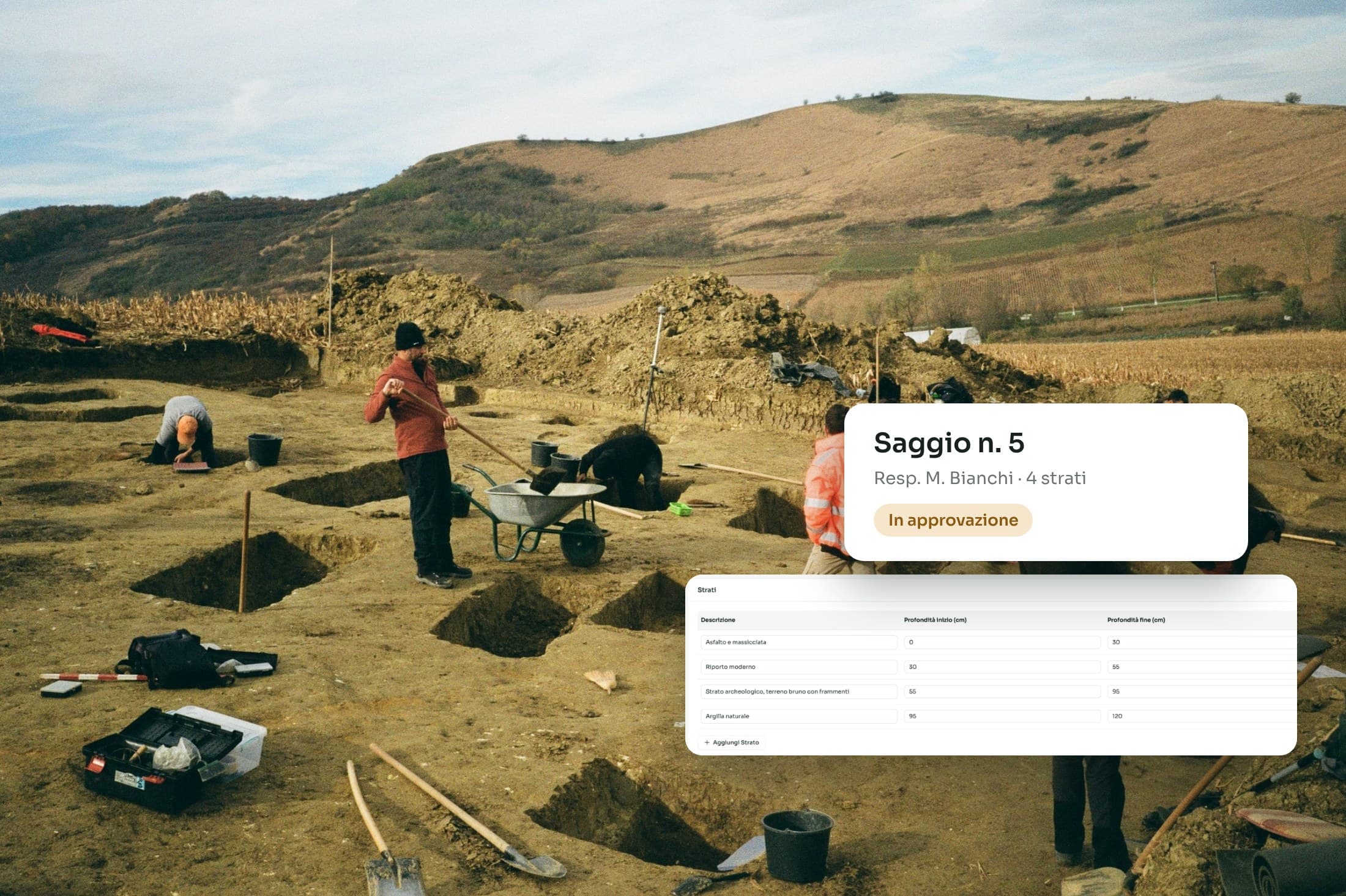
The data model uses the terms of the trade: section number, cadastral sheet and parcel, outcome of the intervention, sequence of layers with depths in centimetres. Chronologies and materials come from shared vocabularies, so records written by different operators stay comparable.
A negative outcome has the same structure as any other intervention. In watching briefs on construction sites it is the most frequent case.
The intervention record
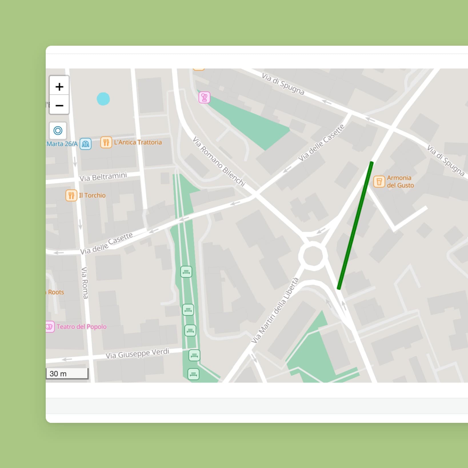
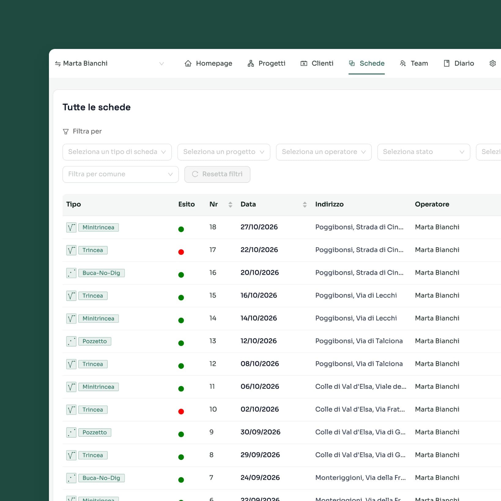
The record holds the description, the polygon drawn on the map, the layers, the attachments and the approval status.
The polygon stores coordinates vertex by vertex, with the same reference system across the whole project. Georeferenced data can be exported as shapefiles and opened in QGIS.
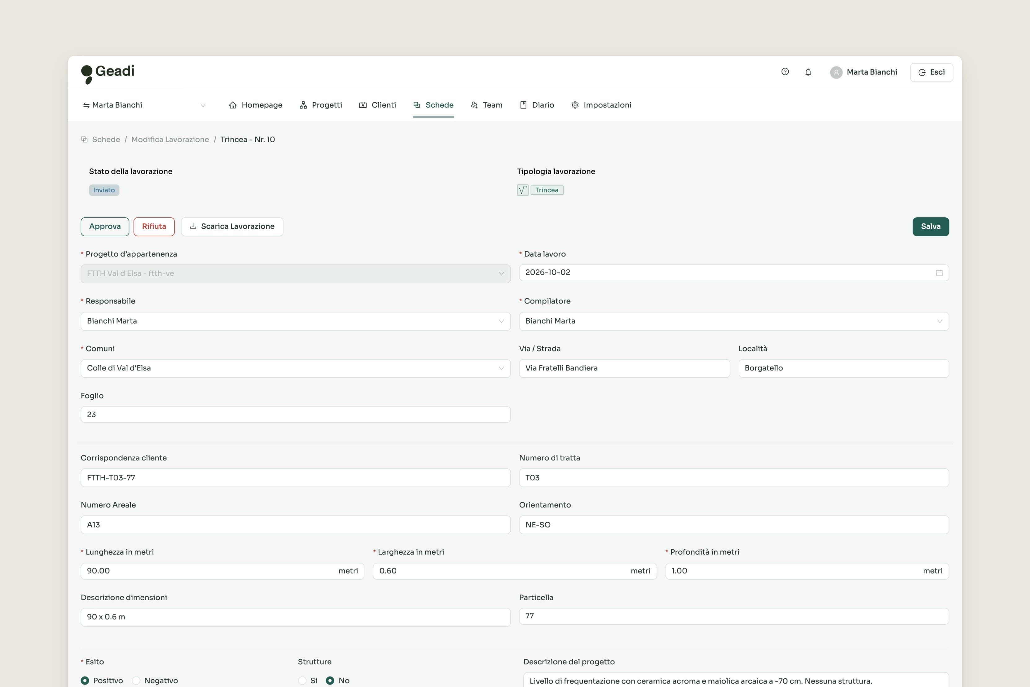
Three roles on the same project
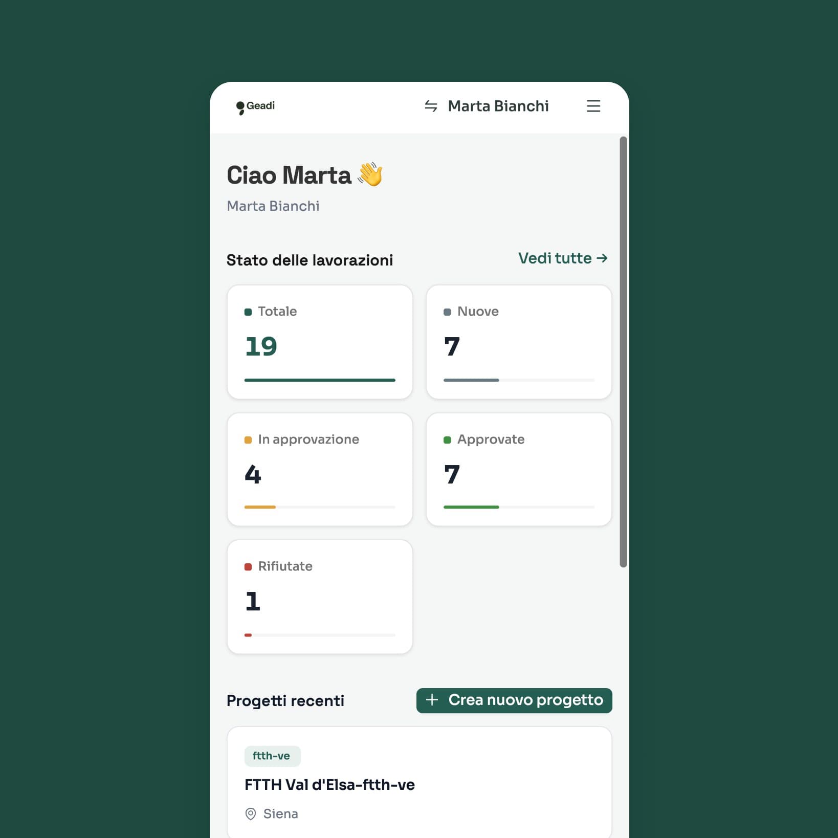
The operator fills in the record in the field, from a phone, and submits it.
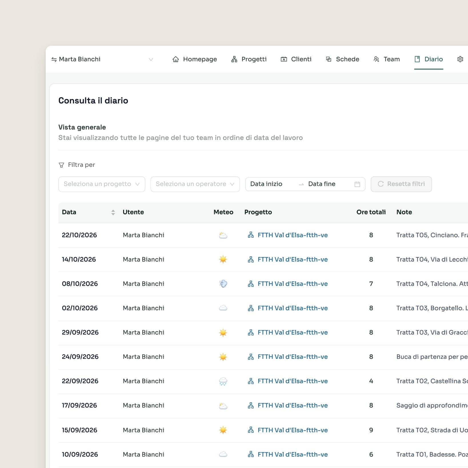
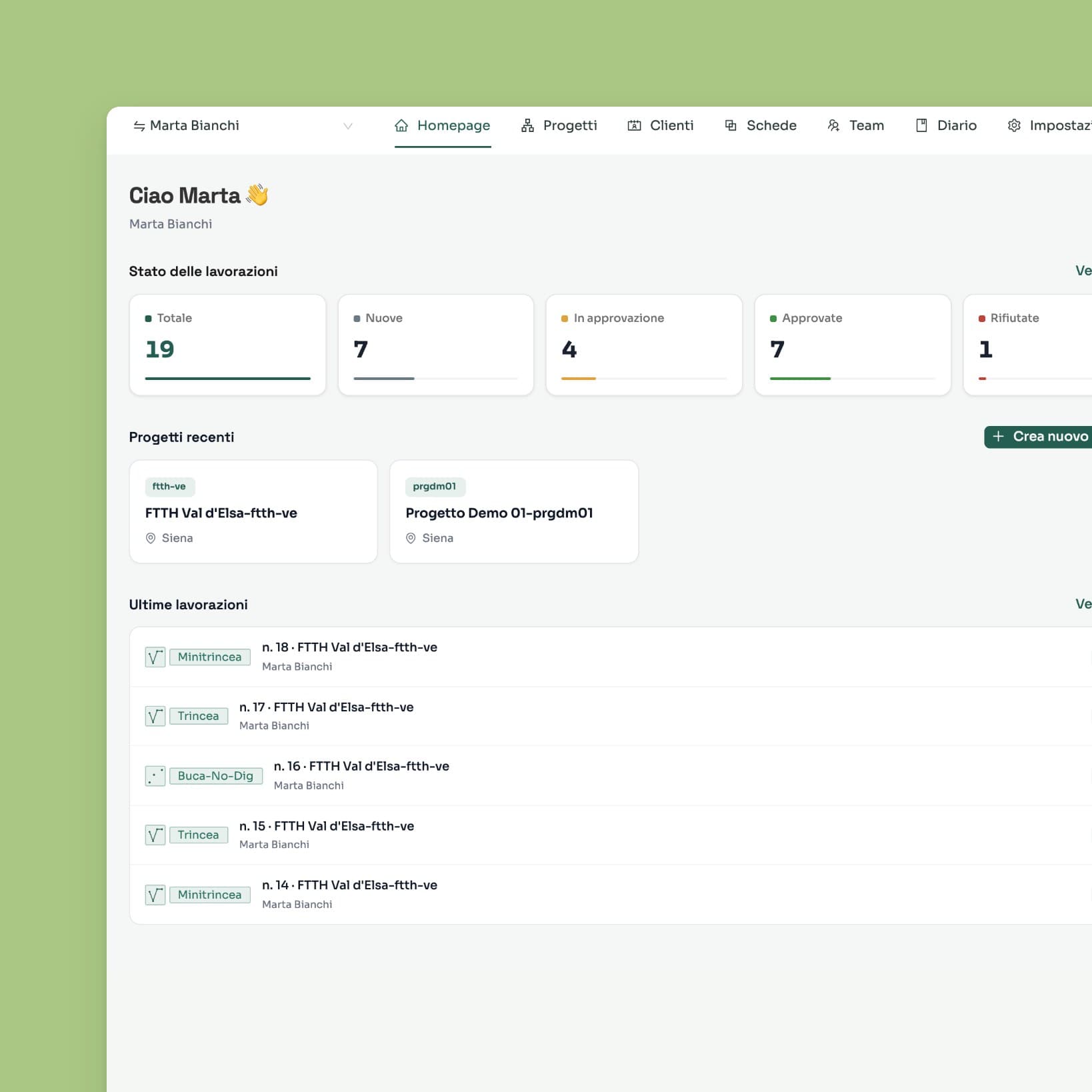
The site manager follows the sites, the daily log and the people: in-house staff and contract collaborators, with roles and invitations that expire.
The scientific director approves or rejects the records. Every step is logged.
Approved records are output as uniform documentation for the public body. The daily log can be exported as CSV for the client’s accounting.
Brand, website and materials
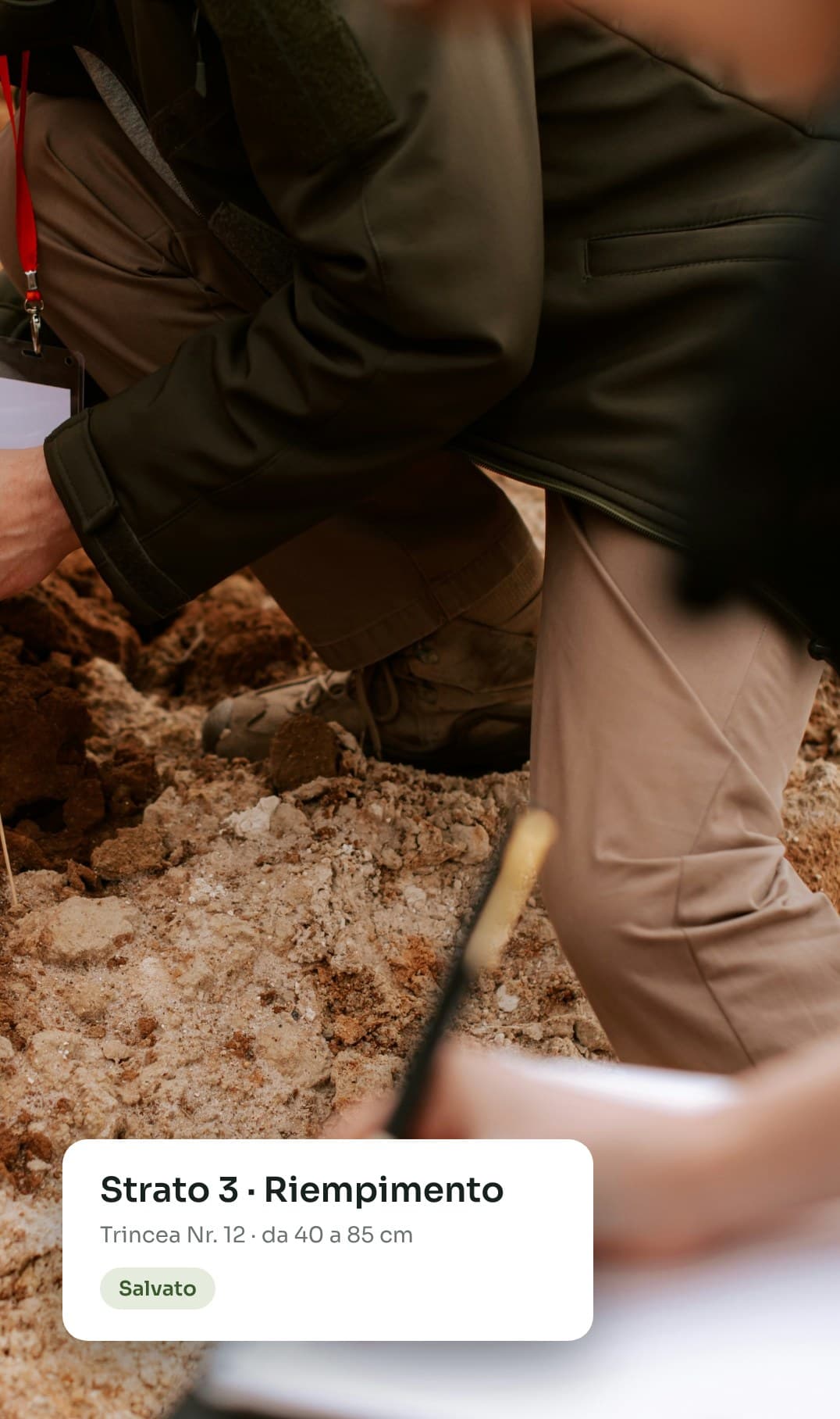
We designed the brand, the geadi.it website and the product sheet. The images start from maps and drone photos of the sites, with parts of the interface laid over them.
Project status
Geadi is in beta and runs in the browser. The iOS and Android apps will soon be available on the App Store and Google Play. Integration with the GNA, Italy’s national archaeology geoportal, is also planned.
Geadi is co-designed with professional archaeologists who work every day on preventive investigations and watching briefs.